Summary
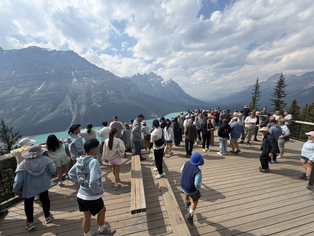
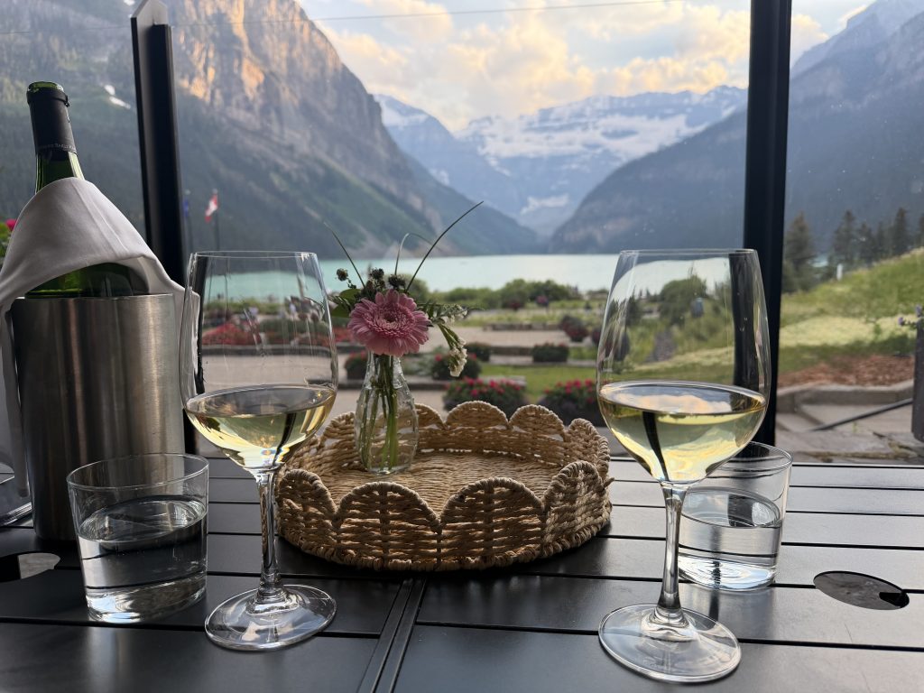
Once we left the Jasper Fire burn area we found ourselves in an area of head-exploding beauty: the Columbia Icefields Parkway to Lake Louise. The drive traverses Jasper and Banff National Parks and follows 5 river valleys: the Athabasca, Sunwapta, North Saskatchewan, Mistaya and Bow. Our first stop was the spectacular Athabasca Falls where 250,000 liters of water per second race through chutes and over cliffs. Next was the jaw-dropping Skywalk with a protruding glass floor 1000 feet above Sunwapta Valley. We then took an Ice Explorer vehicle onto Athabasca Glacier with an opportunity to walk on the extremely slippery ice. Had lunch at the Icefields Discovery Center then a nice short hike to Petyo Lake with its fabulous turquoise waters. Arrived at the beautiful Fairmont Chateau Lake Louise hotel stunningly situated on the turquoise lake with a view of massive, snowy Mount Victoria at the far end. Our dinner spot on the terrace had this same gorgeous view.
Details
Today we’re up at six a.m. We have a “wheels up” time of 8:25 so we can’t dilly-dally. My phone complains about the night. It says that my blood oxygen level is lower than normal and my respiratory rate overnight was higher than normal. Yep. We’re at elevation. To be expected. My phone also says the outside temp is 50 degrees and inside my portable thermometer says it’s 68 degrees. Both feel lovely. This bodes ill for our re-introduction back into Texas in August.
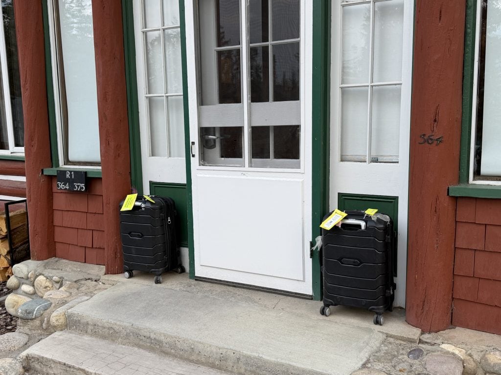
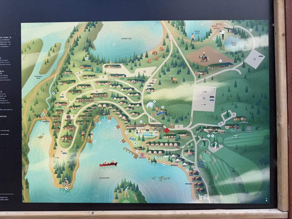
As instructed we leave our packed/locked luggage outside our cabin. We hike over to the main lodge one last time and have a reasonable breakfast. At the appointed hour we’re picked up by our same bus and driver as yesterday: Nathan. Nate’s side kick for the day is Scott (easy to remember.
Our itinerary for the day is the Icefields Parkway, aka Alberta Highway 93 North. It’s a 144 mile scenic route through the Jasper and Banff national parks. Nate tells us this route is one of the top five most scenic drives in the world. He also informs us that no big rig 18-wheelers are allowed on this two lane road unless they have permission. And such trucks cannot get permission unless they’re delivering goods to one of the few businesses along the route. As such, it’s a calm and quiet drive. For the first part of the drive we’re not even bothered by trees as they all (sadly) burned down in the big fire two years ago.
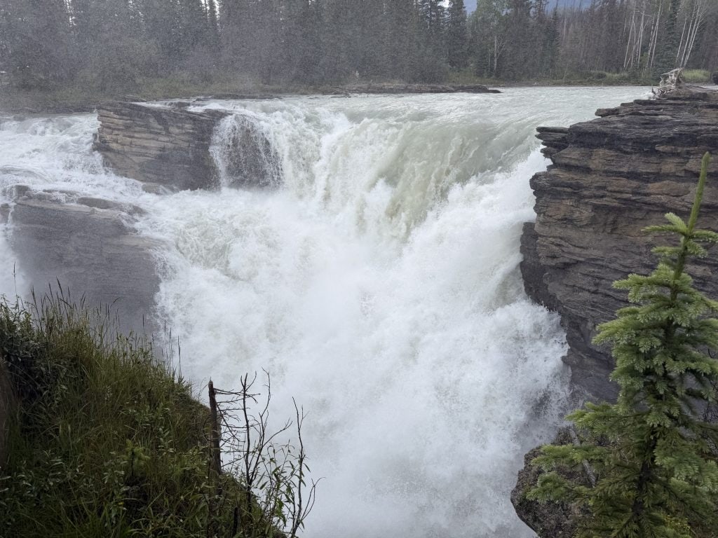
Our first stop is the Athabaska Falls here where we are in the Athabaska Valley. The falls are big and powerful. We’re told there’s 250,000 liters of water going over the falls every minute. We believe it.
Driving on we see lots of Fire Weed which Nate says the wildlife love. We hear about different local legends including Mary Schäffer Warren. She lived in the late 1800s and early 1900s. She and her husbands (first and second) were both naturalists by hobby and they enjoyed coming to this area to explore and camp. They were the first non-first nations people to do so. A woman, back then, doing such stuff was unheard of. She wasn’t about to be pigeon holed just because of her gender.
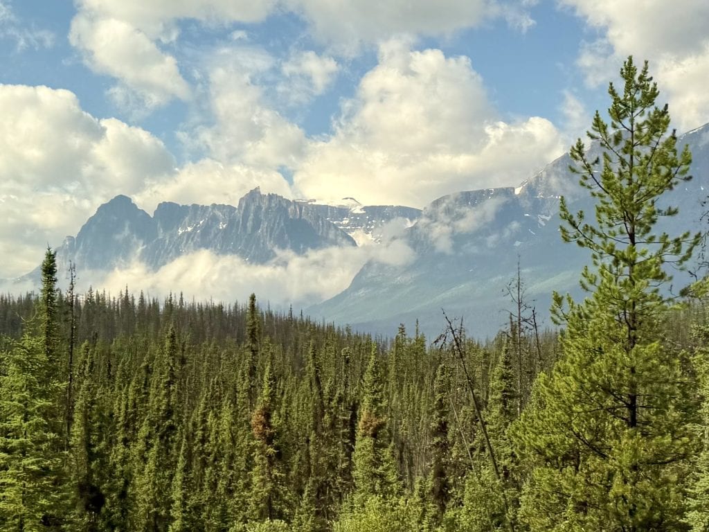
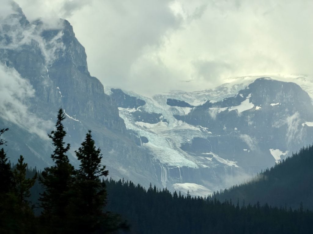
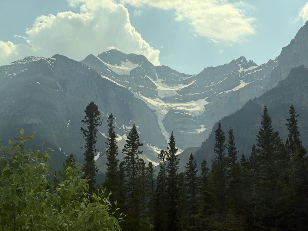
As we drive on we see majestic snow capped mountains all around us, through the slightly hazy air. We pass Tangled Falls, which is appropriately named. We pass the first of a few “shooting galleries” that we’ll go by today. These are places where there are rocks precariously perched way up high, waiting for the slightest provocation to roll down the hillside and across the road. By the time they reach the road they’re going very quickly and would do massive damage to any vehicle (such as ours) that it hit. Thankfully today we were not the target for any projectile in this particular shooting gallery.
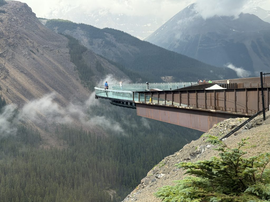
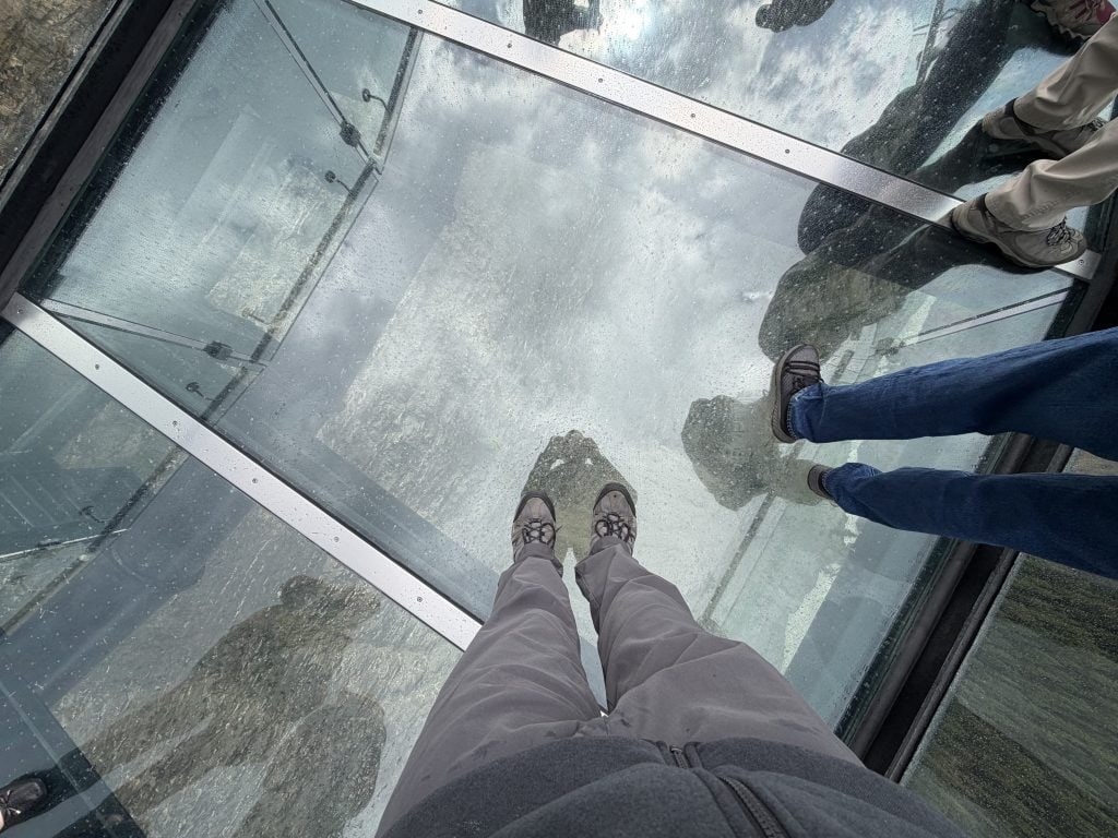
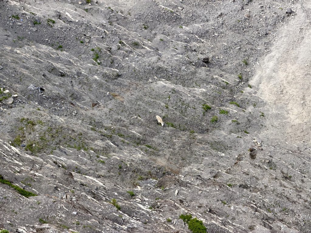
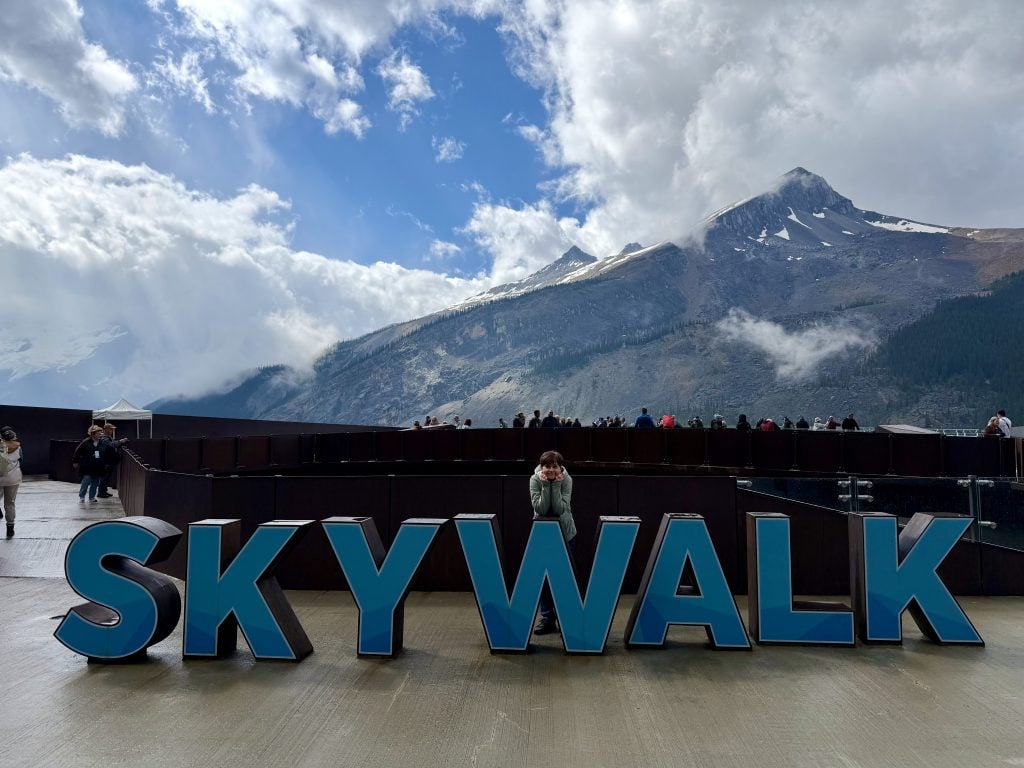
The bus we’re in is owned by the Brewster company. They own a network of tourist supporting businesses in this area. We’re at one now, the Skywalk, which is an arched pedestrian bridge, way above a valley, with glass floor and walls. It’s disconcerting to walk across it but you do get a great view. Directly below us is a small white dot. It’s a mountain goat grazing on the scrub brush down there.
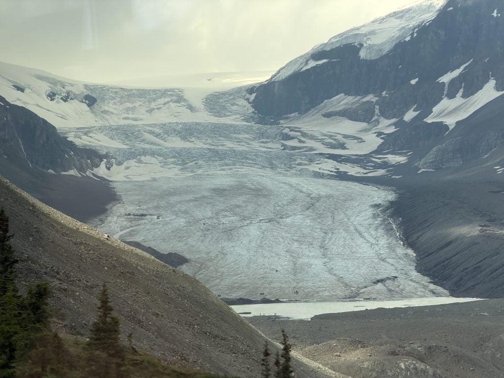
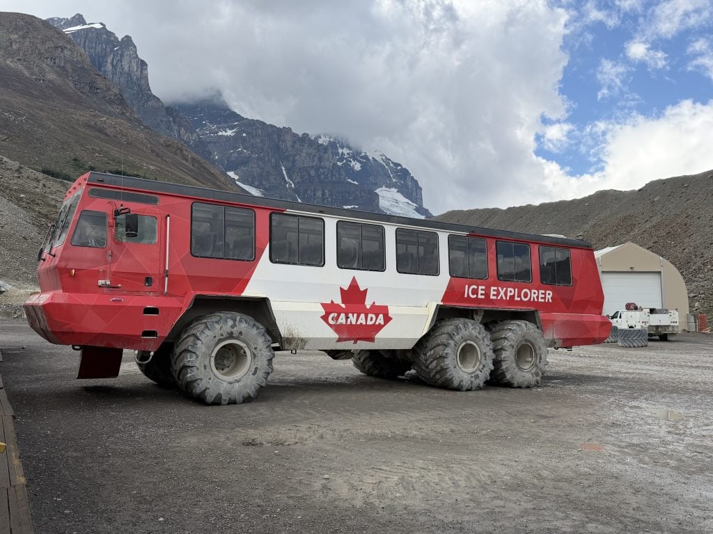
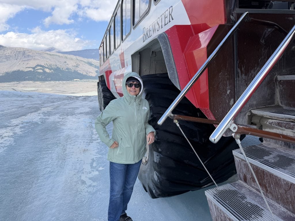
Further along we come to the Athabaska Glacier which is an offshoot of the Columbia Ice Field. We transfer from our wimpy bus to a 27 ton snow glacier six-wheeled vehicle. We drive at its top speed (10 miles per hour) up onto the glacier. At one point we’re on an incline of 30 degrees and our driver is required to put the vehicle into auto-pilot (automatic breaking) as we gingerly roll down the steep road.
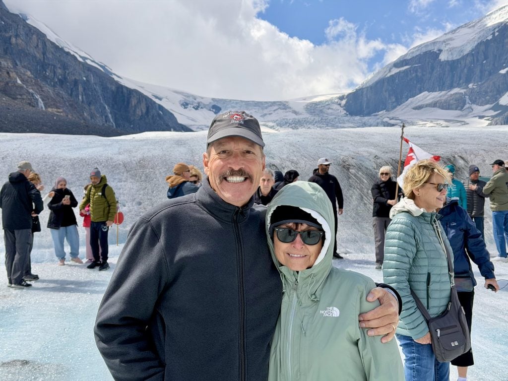
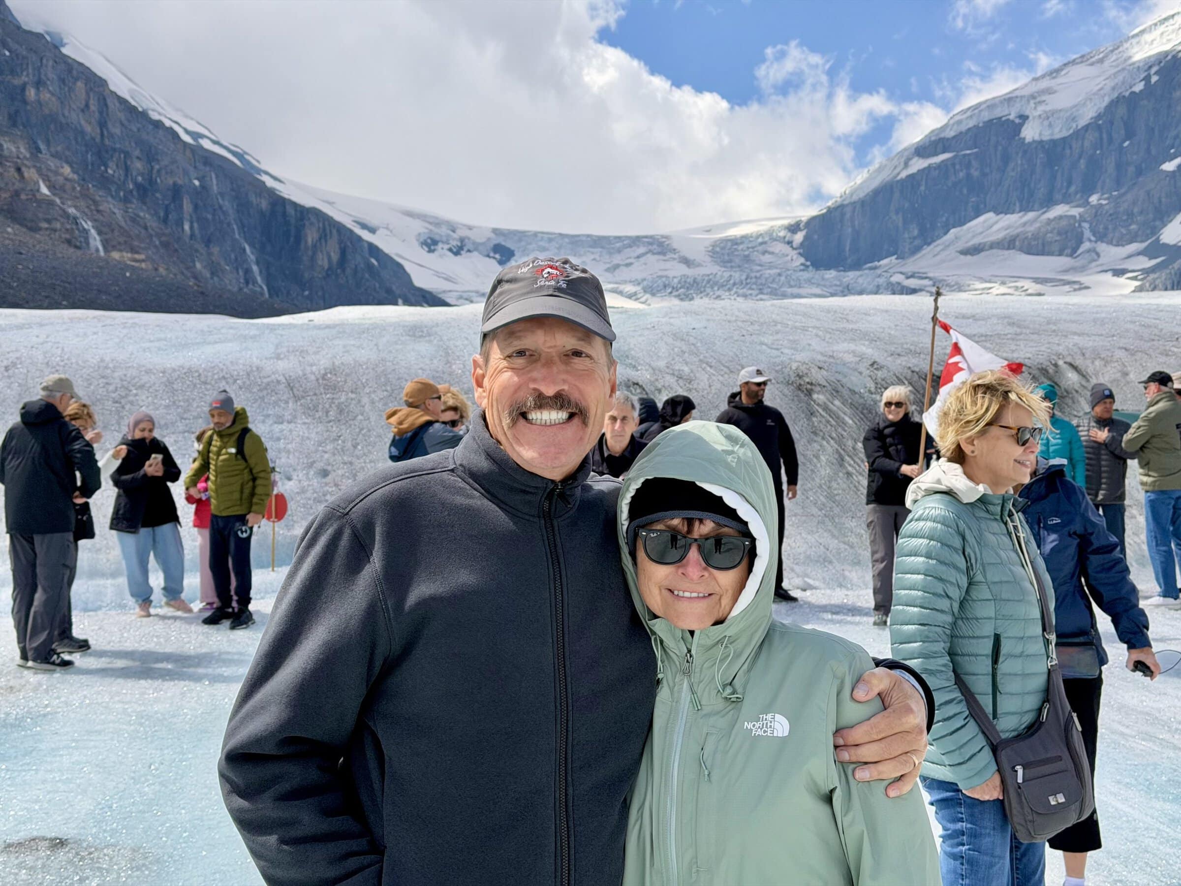
On the glacier we’re let off for as long as we like (not long). It’s cold and windy. The surface is extremely slick. We all get off and carefully walk around a bit. The ice below our feet is 450 feet deep. We get our pictures taken with the glacier and a Canadian Flag, flapping in the strong, cold breeze. We’re told in the world there are 23 vehicles like this. 21 of them are here and two of them are in the Antarctic.
Without much encouragement we climb back into the not cold vehicle for the drive back. Back on our bus we go across the way to the glacier welcome center where we have a buffet lunch.
Refreshed we press on. Nate told us our route today would take us through five river valleys and we just entered our third of the day: North Saskatchewan Valley. At one point we see what the original road up here looked like. It was just a dirt road. Yikes. At 6,000 feet this is the highest paved road/highway in the country.
The whole day seemingly has been seeing impressive mountain ranges covered in some remnants of last winter’s snow. At the beginning of the day we were sad because all the trees were dead/burned. Now we’re mad because we can’t see anything because of all the trees lining the sides of the roads.
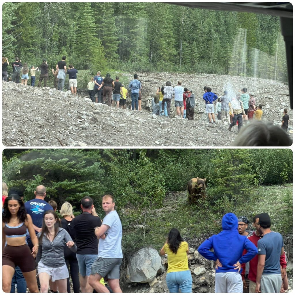
At one point we slow to see a big group of maybe 30 or 40 people looking at something. Upon further inspection we see it’s a grizzly bear grazing. These people are definitely way too close to that bear. There’s small creek between the bear and the people but that bear is so much more intelligent that all those stupid humans. Argh.
At our hotel, the Fairmont Chateau Lake Louise we get our room key and move in. We take a walk and then go to dinner. Our view is unparalleled, the lake and the snow-covered mountains beyond. Dinner is delicious and we feel we really must take a long walk to work off dinner after. Finally up to the room for sleepy time. It’s been a long day, sitting on the bus.
Photos